Licensed Cadastral Surveyors
Are you navigating the complexities of land ownership and development in Auckland? Perhaps you need accurate and reliable boundary information to make informed decisions. Horizon’s team of experienced licensed cadastral surveyors in Auckland is here to provide the expertise and solutions you need.
As leading land surveyors in Auckland, we understand each of our client’s unique challenges and requirements. Whether you’re a landowner, developer, or real estate professional, we can provide comprehensive services tailored to your needs.
Contact us today for expert services from licensed cadastral surveyors in Auckland.
Our Cadastral Surveying Services
Our team works hard to simplify the cadastral surveying process, handling your land and property matters with the utmost precision and care. Our experienced surveyors can assist with:

Land Transfer and Cadastral Survey
Our licensed cadastral surveyors play a crucial role in the land transfer process. We accurately establish new lot boundaries, ensuring the property lines are clearly defined and legally compliant. For property ownership and development, these boundaries provide a solid foundation for land transactions and help prevent future disputes.
Our surveyors will prepare the necessary legal survey plans to formalise property titles, ensuring that ownership rights are secure and enforceable.

Easement Surveys
Easements are rights of use granted over property for specific purposes, such as utilities or access. Our Auckland cadastral surveyors are licensed and can conduct easement surveys to precisely define and document these rights, ensuring all parties involved understand their obligations and limitations.
We help you avoid misunderstandings and potential conflicts.

Boundary Marking and Redefinition
Our licensed cadastral surveyors use state-of-the-art equipment and techniques to precisely mark and define property boundaries.
Boundary marking and redefinition help prevent disputes and is particularly important for construction projects, providing clear guidelines for building and development activities.

Cross-lease and Unit Title Surveys
Our Licensed Cadastral Surveyors’ Approach
At Horizon Surveying, we take a comprehensive, client-oriented approach, combining our team’s expertise with cutting-edge tools to ensure the highest quality of work.
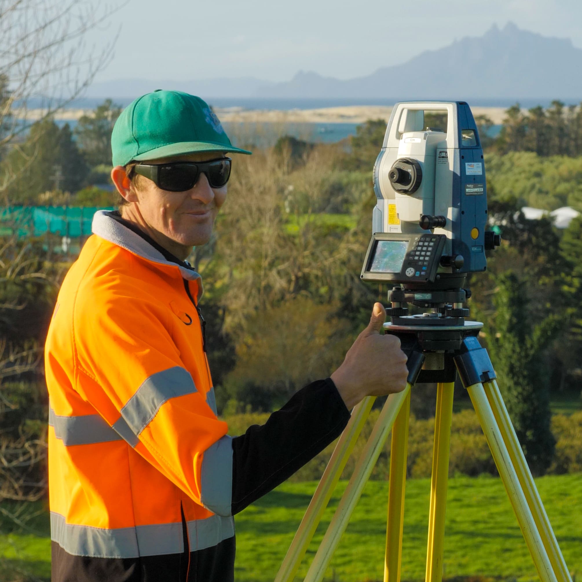
Utilising the latest in surveying technology, we can capture accurate data and create detailed survey plans. Our surveyors ensure clients have the most current and reliable information for their land and property needs.
We also emphasise the importance of human expertise. Our licensed cadastral surveyors possess a deep understanding of Auckland and Whangarei’s local land and property landscape, helping them interpret data effectively for more valuable insights.
Our approach is underpinned by a strong focus on quality and efficiency, adhering to industry best practices and implementing rigorous quality control measures. You can count on Horizon to deliver exceptional cadastral surveying that exceeds expectations.

Our Experience with Cadastral Surveying
We have extensive experience in cadastral surveying across numerous projects, such as crosslease conversions and subdivisions across New Zealand. We have provided expert services in land boundary definitions, legal survey compliance, and subdivision approvals.
For example, we worked on Devich Road and Cames Road, two separate projects in Mangawhai. Each required cadastral surveys to meet the regulatory requirements for subdividing rural land, which includes boundary marking and legal definitions essential for the subdivision process.
Our cadastral surveyors have a deep understanding of property rights. They navigate council regulations for legal surveys and help clients through the intricate process of subdividing land.
Frequently Asked Questions
When is a cadastral survey required?
Working with a cadastral surveyor is necessary for several situations to ensure accurate property boundaries and avoid potential legal disputes. Some common scenarios include:
- Property transactions (subdividing)
- Construction and development
- Legal matters (title conversions, easements)
- Updating property records
Essentially, a cadastral survey is required whenever property boundaries or ownership rights need to be established, defined, or updated.
What qualifications do your cadastral surveyors hold?
Our fully qualified cadastral surveyorsare licensed and hold the relevant degree, practical training, and Certificate of Competency from the S+SNZ.
For example, our Survey Manager Richard Bromley holds a Bachelor of Surveying from Otago University, along with the proper licensing from S+SNZ and 40 years of experience working in the field. With qualifications like this, you can trust our team to handle your surveying needs.
How long does a cadastral survey take?
Your cadastral survey timeline can vary depending on many factors, primarily:
- Project complexity
- Site conditions
- Research requirements
- The time needed for fieldwork
It’s also important to consider the time needed for office work and regulatory processes. While the actual survey work may be completed relatively quickly, gathering approvals and the administrative work required can extend the timeline. Once we assess the requirements of your project, we can provide a more accurate timeline.
Need Expertise from Licensed and ExperiencedCadastral Surveyors in Auckland? Contact us!
Ready to take the next step in your land and property journey? Our team of licensed cadastral surveyors is here to provide the expert guidance and solutions you need. Alternatively, explore the services provided by our expert aerial surveyors or topographical surveyors.
Let our experts bring their knowledge to your project; fill out the contact form below, or pick up the phone and give us a call today!
Red Beach
- 170 Hibiscus Coast Highway, Red Beach, 0932
- horizon@hsld.nz
- 027 244 7125
- 09 869 4585
Mangawhai
- 4 Wood Street Mangawhai Heads, 0505
- horizon@hsld.nz
- 09 431 4568
Already have an excellent idea...

")