Knights Road
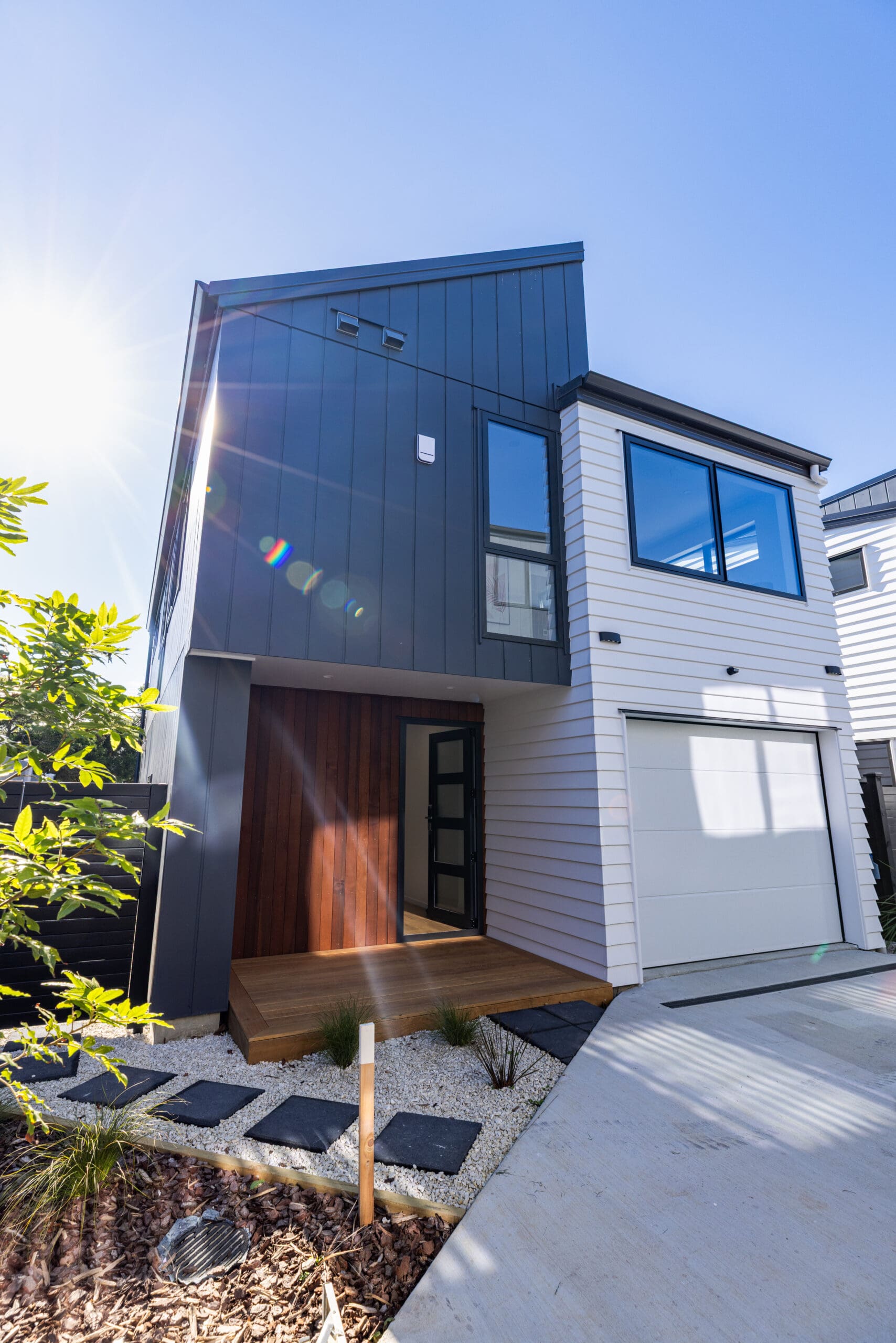
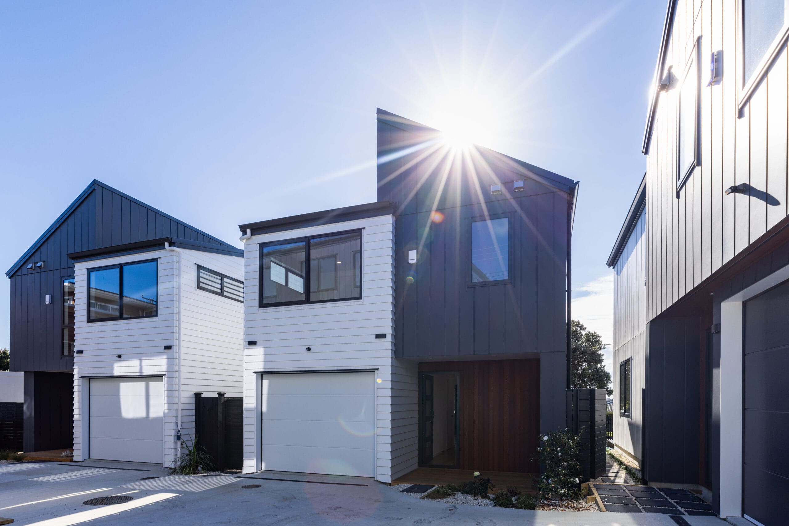
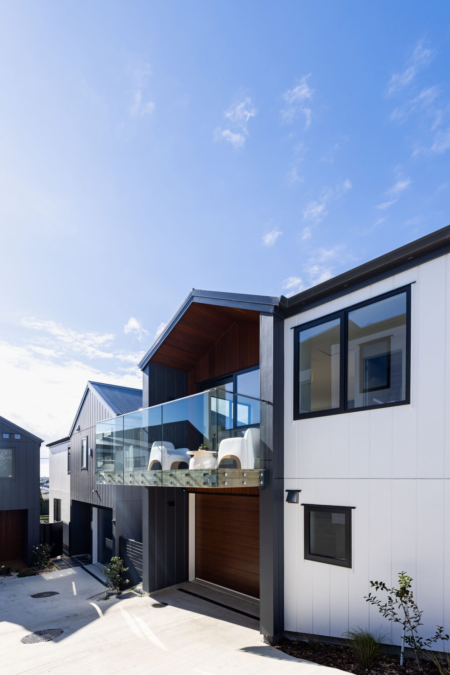
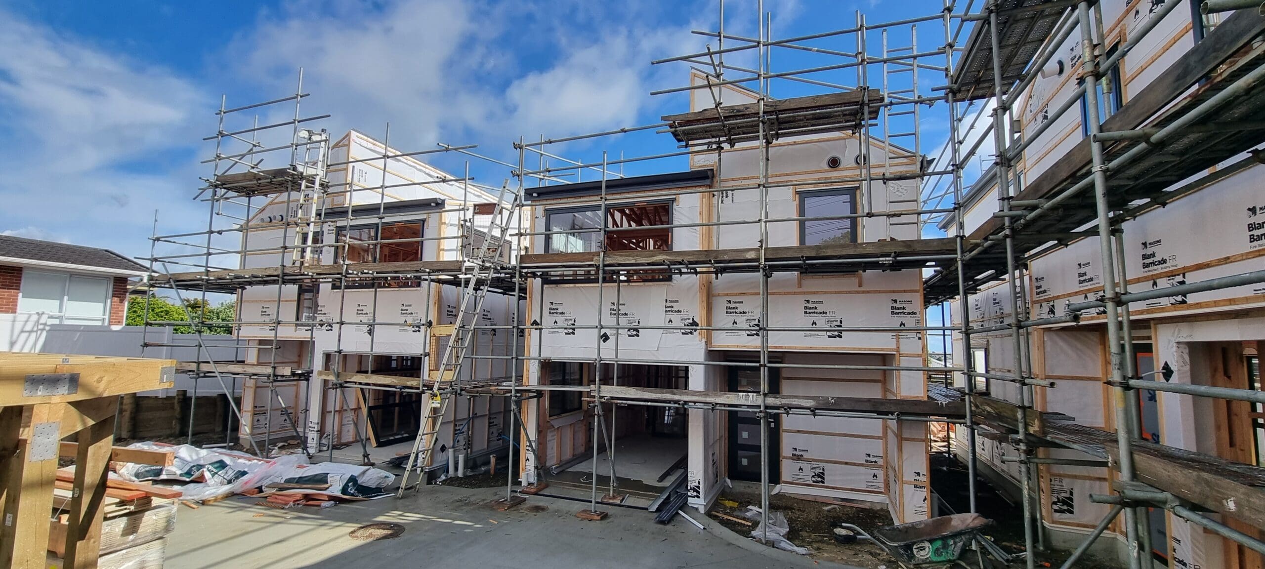
Located in Rothesay Bay this comprehensive redevelopment project transformed a 924 m² site, once home to a single dwelling, into a thriving new community of six architecturally designed two-storey homes.
Horizon provided the full suite of surveying and land development services to bring our client’s vision to life, including:
Topographical survey
Our client required an accurate topographical survey to enable their Architectural & Engineering designers to understand the physical and legal shape & size of the property, and any relevant restrictions on development.
Specific features required included:
🔹 Existing ground levels,
🔹 Location of Wastewater & Stormwater services,
🔹 Existing fences, buildings & other structures,
🔹 Notable trees and their driplines, particularly those on neighbouring properties and in the road reserve,
🔹 Existing vehicle crossings and footpaths,
🔹 Neighbouring dwellings and their heights & outlook areas.
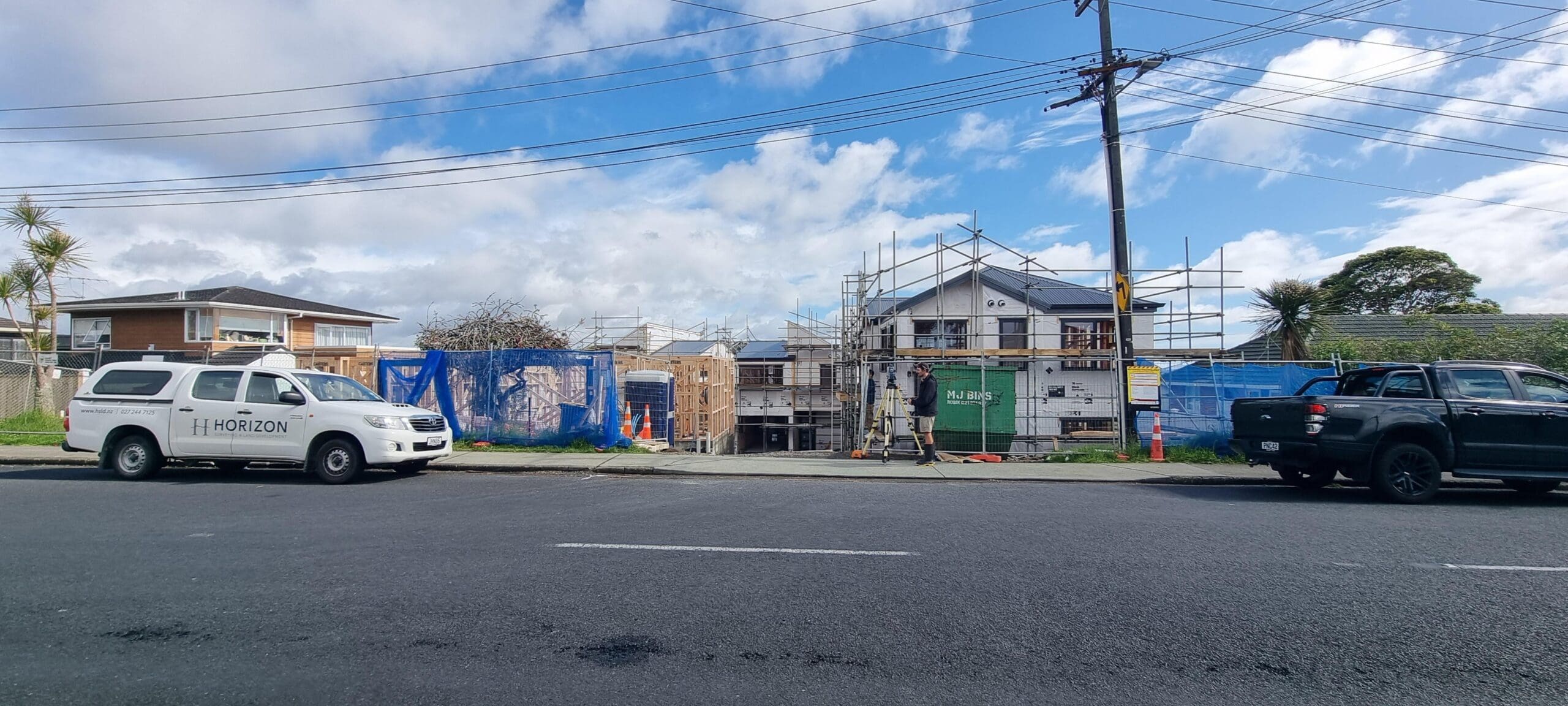
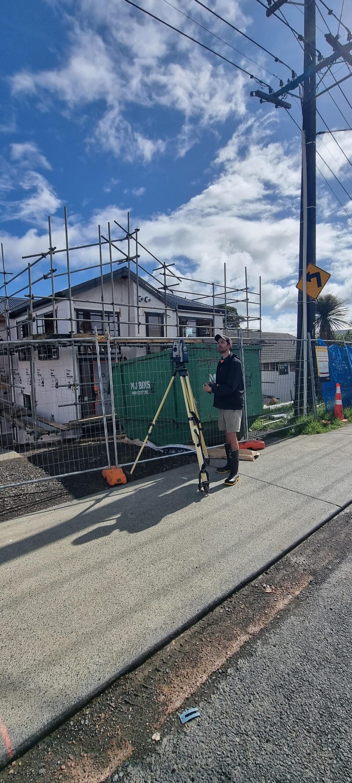
Horizon’s Surveyors used modern surveying instrumentation including GNSS & a Robotic Total Station to measure the features & ground levels based on existing proven survey control data.
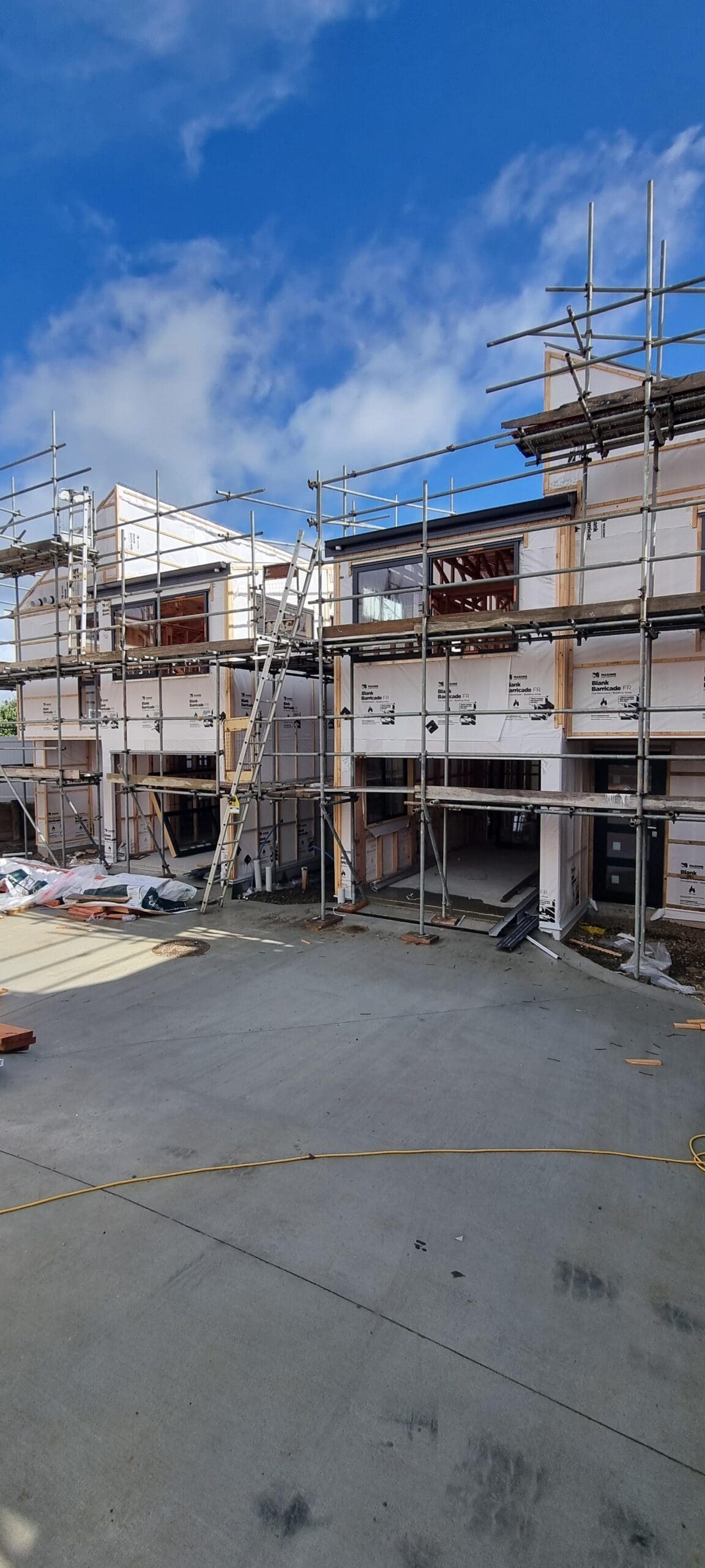
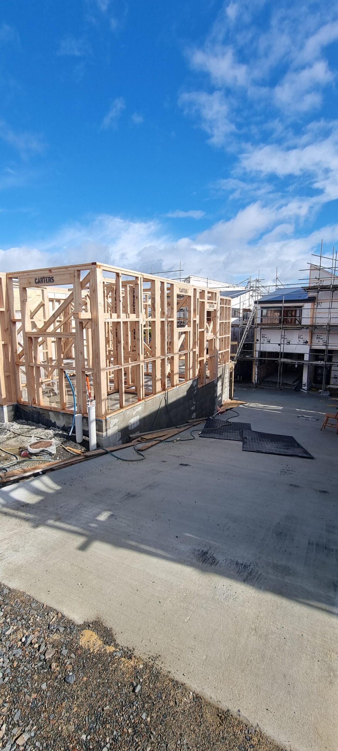
Building & drainage set-out
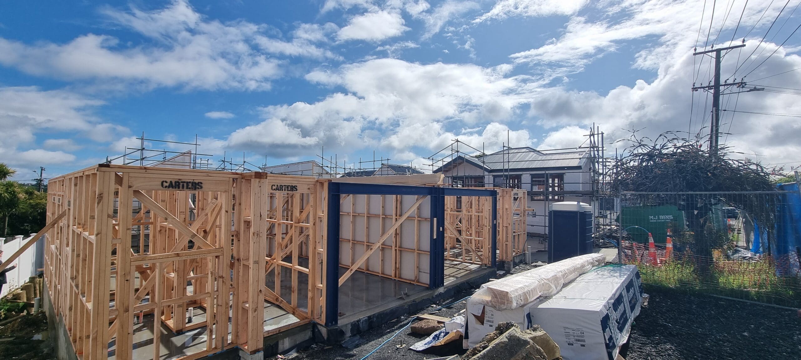
Once design and consenting processes were completed by our client, and the site had been cleared, our client requested an initial earthworks and drainage set out so that the building platforms could be levelled, and drainage construction could commence. A second precise set-out of the building gridlines and profiles was then established for building foundation, floor slab & wall construction. Certification by our Licenced Cadastral Surveyor was provided to satisfy Building Consent Conditions.
As-built surveys
As each element of public and private Stormwater & Wastewater drainage was completed, we surveyed the as-built locations and levels to enable a formal As-Built plan to be prepared and certified by our Licenced Cadastral Surveyor for later Council inspection and Engineering approvals for s.224c certification. Elements of the drainage were constructed beneath the new dwellings and required accurate surveying to enable final works over approvals in relation to the dwelling foundations. The As-Built survey data also enabled accurate location and certification of service easements on the Land Transfer Plan.
Height in relation to boundary
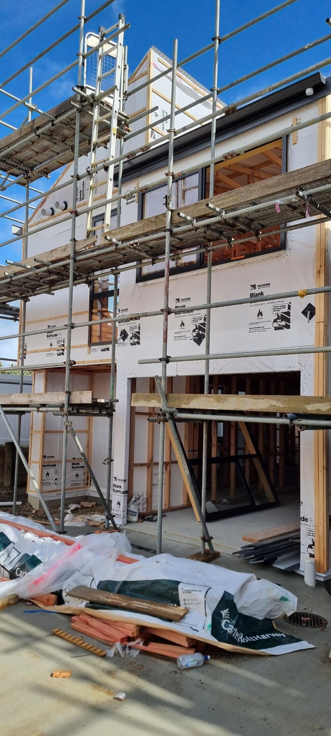
Once the dwellings were completed to roofing stage, we conducted a Height in Relation to Boundary survey to measure and certify compliance with the Resource Consent conditions and the approved building height infringements along the neighbouring boundaries. Certification by our Licenced Cadastral Surveyor was provided to satisfy Resource Consent Conditions. This was a challenging survey due to the building configuration and complexity but facilitated by use of our laser measuring technology with our Robotic Total Station. The use of this technology also ensured our surveyors safety was not compromised by having to ascend scaffolding or work from height.
Land Transfer survey
The Land Transfer Survey was complicated in the beginning by a lack of adjacent survey marks, many of which had been destroyed by construction of nearby services, footpaths & vehicle crossings in the period since the boundaries were initially surveyed in 1973. These difficulties were overcome by accurate surveying from distant survey Control Marks and re-establishing survey connections by calculation to the relevant boundaries. As two of the dwellings had a common Party Wall, the position of the wall was surveyed as soon as the framing was up so that the legal boundary between the two dwellings could be accurately established. Once all buildings were completed and the site largely clear of contractors, we were able to complete the boundary marking of the internal Lot boundaries, the shared access Lot and easements over a Retaining Wall on one of the boundaries. Survey data was downloaded remotely to our software packages for reduction, adjustment & assessment before capturing in the on-line Government owned survey data system (Land-on-line) to prepare the Cadastral Survey Dataset (CSD). The CSD, supporting documents and data were reviewed by our highly experienced Licenced Cadastral Surveyor, before lodging at Land Information New Zealand for approval as to survey.
We also managed the subdivision process from start to finish, securing all necessary certifications under s.223 and s.224c, as well as approval as to survey from LINZ, paving the way for title issue and property sales.
Engagement with the client, their solicitor, building contractors, and Council ensured a smooth delivery of documentation to achieve the issue of Titles. Another successful outcome for our clients and for Auckland’s growing urban landscape.
This article was written by our Survey Manager Richard Bromley. To find out more about our surveying, subdivision and land developments services you can click on the links.
Already have a redevelopment project in mind? Contact Horizon today to discuss your options. Contact us
Already have an excellent idea...

")