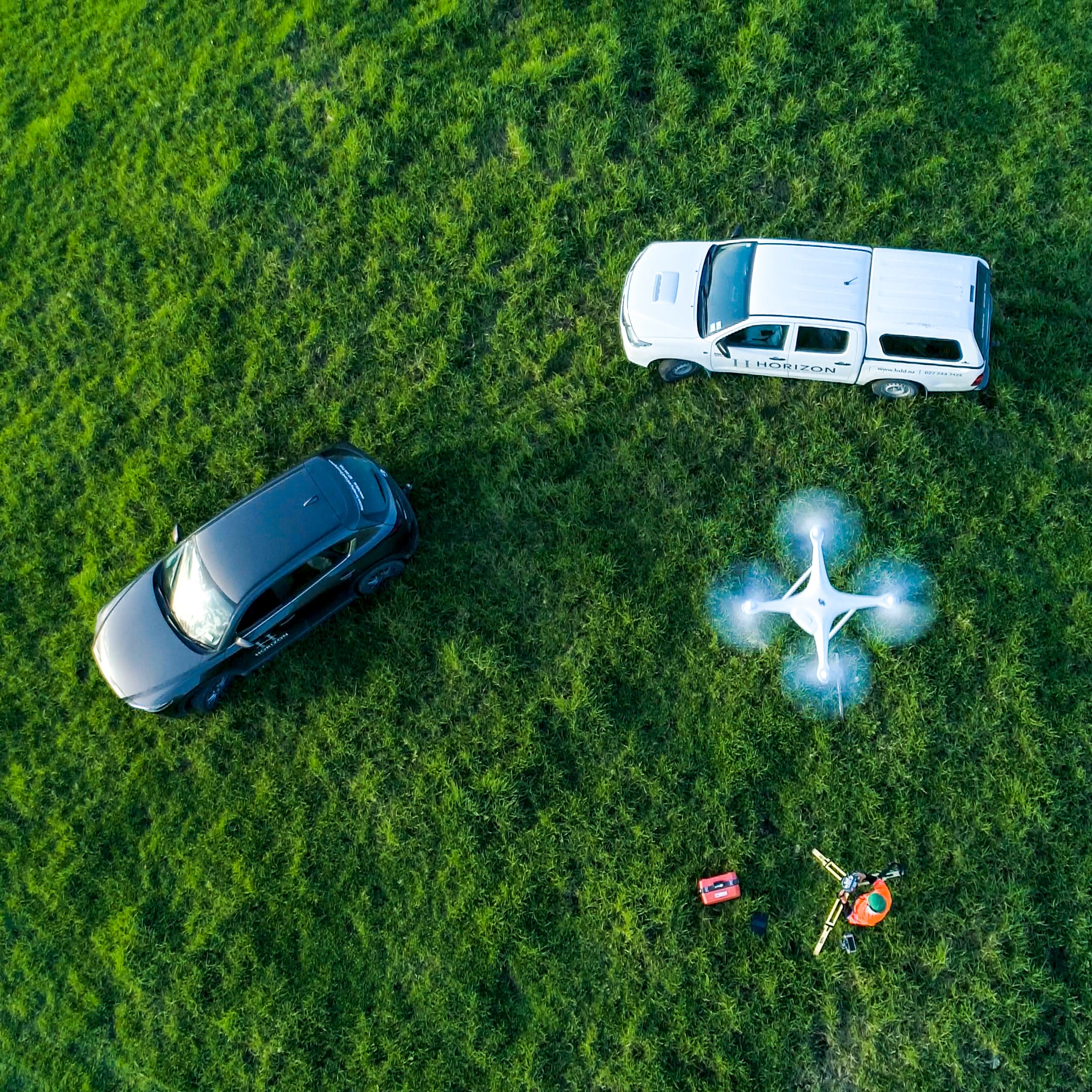
Harnessing the Power of Drone Aerial Surveying
In recent years, technological advancements have revolutionized various industries, and the field of surveying is no exception. Drone aerial surveying has emerged as a game-changer in the world of site assessment and planning.
In this blog, we will explore the benefits of drone aerial surveying and how it can help improve your site in numerous ways.
-
Unmatched Efficiency and Speed:
- One of the most significant advantages of using drones for aerial surveying is the unparalleled efficiency and speed they offer. Drones can quickly capture high-resolution imagery and collect vast amounts of data in a fraction of the time compared to traditional surveying methods.
-
Cost-Effectiveness:
- Drone aerial surveying is a cost-effective alternative to traditional surveying methods. By reducing extensive on-site labour, drone surveys can significantly reduce surveying costs.
-
Enhanced Safety:
- When it comes to site assessments, safety is paramount. Drone aerial surveying eliminates the need for surveyors to physically access hazardous or hard-to-reach areas.
-
Accurate Data Collection:
- Drones equipped with high-resolution cameras and advanced sensors can capture accurate and detailed data, providing a comprehensive view of the site. The imagery and data collected can be used to create precise topographic maps, 3D models, and point clouds, allowing for accurate measurements, volumetric analysis, and terrain modelling.
-
Site Analysis and Planning:
- The data collected through drone aerial surveying can be utilized for in-depth site analysis and planning. The detailed imagery and mapping can help identify potential site constraints, such as vegetation coverage, drainage patterns, and access points. This information aids in informed decision-making during the design and planning stages, leading to optimized site layouts and improved project outcomes.
-
Progress Monitoring:
- Drones can be used to monitor and document the progress of construction projects over time. By conducting regular aerial surveys, you can compare site conditions at different stages.
-
Environmental Assessment:
- Drone aerial surveying is a valuable tool for environmental assessments. It can help identify and monitor ecological features, sensitive areas, and potential environmental risks on or near the site.
Drone aerial surveying has revolutionized the way we assess and plan construction sites. By leveraging the efficiency, cost-effectiveness, and accuracy of drone technology, you can enhance your site analysis, optimize project planning, and improve overall project outcomes. Embrace this innovative tool and unlock the potential of drone aerial surveying to propel your site development into the future.
Already have an excellent idea...

")